Select | Day 0 | Day 1 | Day 2 | Day 3 | Day 4 | Day 5 | Day 6 | Day 7 | Day 8 | Epilogue
I had only slept 2 hours the previous day, and I was getting tired. But my goal was to divide the trip to the random spot into four equal parts (at least as far as direct distance is concerned, not necessarily driving distance or time). The goal for this first leg was to go until I was 339 miles from the random spot. When I had left the insurance place I had considered that as the official start. It would be 113 miles per day (as the crow flies). So I had a bunch of driving left to go before I could find a place to stay for the night. I had the GPS set for "shortest distance, avoid highways, toll roads and U-turns". For the most part it respects this, but for long drives after a while it tries to get you back onto major roads. If this happened before I got to one of my 50 mile checkpoints where I was recalculating the route anyway, I would stop and force a recalculation rather than getting on the highway. So, although I had a few minor stretches on US routes that were divided, most of the route was on nice small two lane roads through the middle of nowhere.
At one point I passed within a mile of Jon's house in Doylestown, PA, but it was late and I was behind schedule, so I kept going and didn't say hello. Sorry Jon!
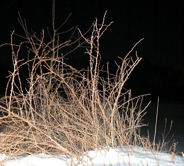
When I hit the 400 mile mark near Lyons, PA, the most interesting thing nearby was just this bush.
Not much huh? Well, it was dark, I had to get something close. It was also cold.
Around this point I realized that my path was taking me remarkably close to an area I had visited frequently back in college, but had not been to for almost ten years. Back in college I had for a couple years lived with a woman named Beth. Her mother lived around here somewhere. In a little town called Orwigsburg. I wasn't sure exactly where it was, but I knew it was close by. And sure enough, a few minutes later I started recognizing the road. Then I saw the landmark I had always used to know where to turn to go to her house.

Well, I was only a mile away, but prudence told me that actually showing up at the house would probably not be a great idea and would be just a bit odd given the fact that I hadn't spoken to Beth's mom in almost a decade, and I only occationally exchange scattered emails a couple times a year with Beth. So, no surprise visit to the Trapani's. That would have been too odd.
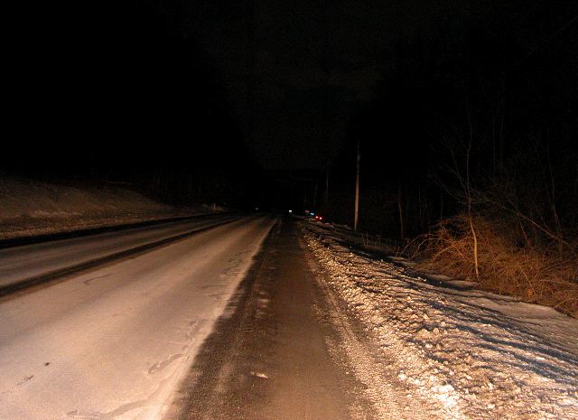
So I kept going. After awhile I got to the 350 mile mark near Trevorton, PA. Just a snowy road.
Soon after that I got to the 339 mark and it was time to find a place to stay. I asked the GPS for the closest hotels. The first few closest were places like this:
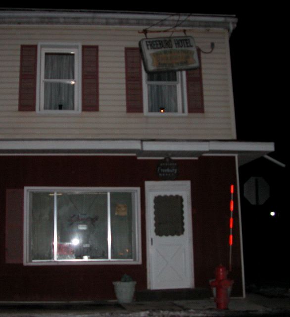
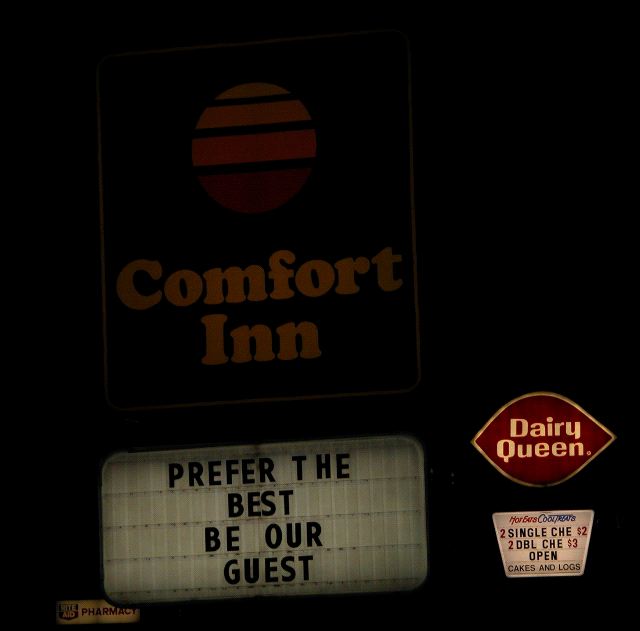
They were not open as far as I could see. Even if they did have rooms, they weren't the kind of places where you could just pull up in the middle of the night and get a room. A couple like this, a couple B&B's, none good. Then finally the next one was a Comfort Inn in Selinsgrove, PA.

Almost as soon as I checked in and closed the door of my room, I was asleep. I was very tired. ZZZzzz...
I expected to sleep later than I did, given when I got in and how little sleep I'd had the day before. But I woke up after only 7 hours of sleep. So I got up. Of course I did email and such for awhile, then got everything ready for the day, hopped back in the car, and continued on my way to the random spot.
On this leg I decided that rather than stop, recalculate and take pictures every 50 miles, I would do it every 25 miles instead. The main reason for the change was that it seemed it was within the 25-50 mile range that the GPS would start trying to put me back on major roads. Before I hit the stop point the previous night, I had needed to force a recalculation several times to avoid being routed onto Interstates or other major roads. Recalculating every 25 miles as the crow flies (every hour and a half of drive time approximately) should prevent that.
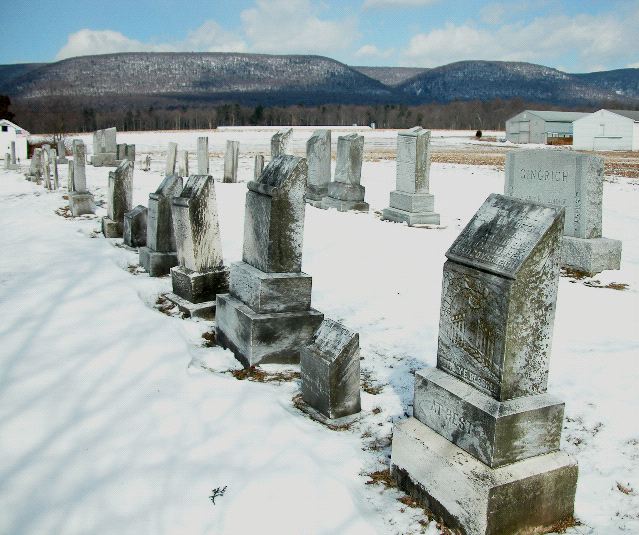
So, the next stop was at 325 miles. A small cemetary near Richfield, PA.
A little more driving and I got to the 300 mile mark. Nothing but a road near McVeytown, PA.
I decided I was hungry and it was time for lunch. As I was parking at the restaurant I found, I saw that I was in horse and buggy country.

For the next few hours I saw one of these about every half hour. For the most part though I wasn't able to stop to take a really good picture, so this one will have to do. In any case, I proceeded to eat at Path Valley Family Restaurant. I had roast beef and potatos. It was yummy.
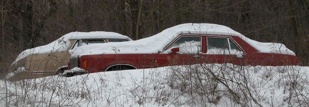
Then it was back on the road. I get to the 275 mile mark near Broad Top City, PA. Off to the side of the road were a few old rusty snow covered cars.
And then I just kept driving.
I soon saw signs for Allegheny Portage National Park. And they had a little info radio station going. The signs said they had a little museum. The radio said they were open. It was just a few miles off to the side of my path. So I decided to go. The road down to the park and museum was pretty snowy and slippery, but I made it.

There were a couple cars there, but it didn't look busy at all.

As it turns out, aside from the Park Ranger, and a couple people doing work on an exhibit, I am the only one there. But the ranger happily offers to show me the movie anyway.
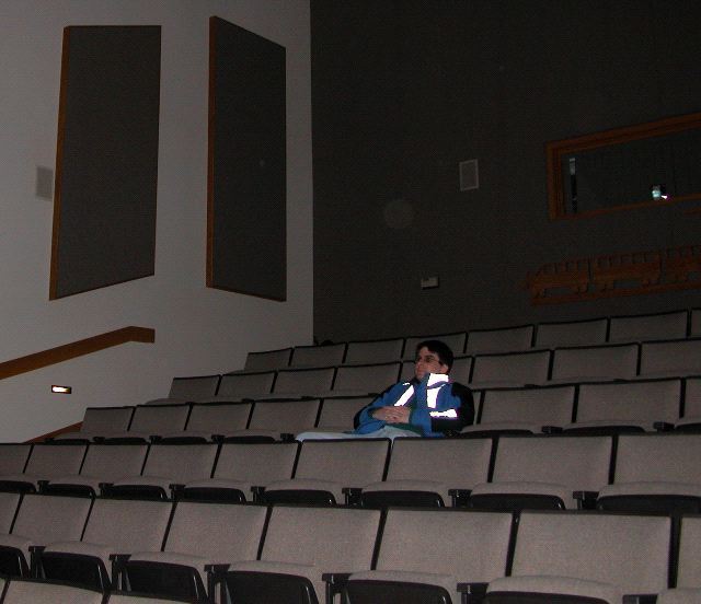
The Allegheny Portage was an incline railroad built to let canal traffic get over the Allegheny mountains on a canal built from Harrisburg to Pittsburgh. It was a primary route accross the state for decades, until railroads got more powerful and they build alternate rail only routes, at which time the portage was abandoned and allowed to basically rever to nature. The movie was actually pretty interesting. I like that kind of thing. Especially seeing how there used to be this significant bit of transportationand infrastructure, but now there were very few visible signs of it left at all. If you didn't know what to look for, you would never know.
After I left there was one addtional local sight I wanted to see. Some railroad tunnels from the era right after the portage era. I found the entrance in this nice red caboose.
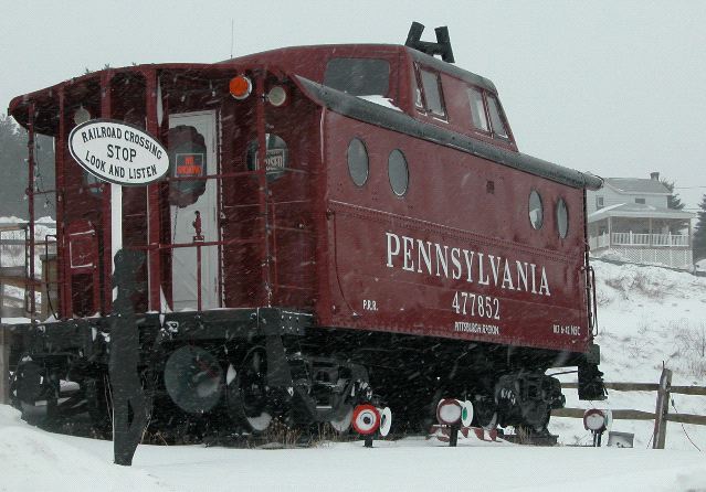
But it was closed. And it was very cold and windy. So I got back on the road.
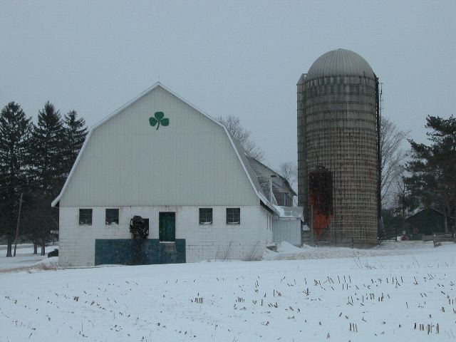
At the 250 mile mark was a nice Irish barn near Sankertown, PA.
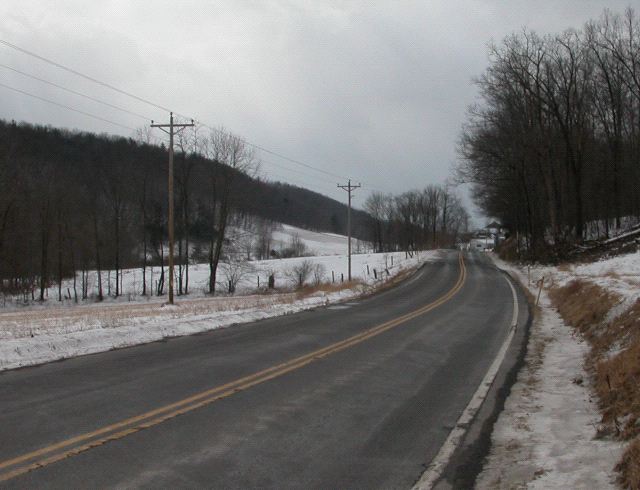
When I hit 226 miles, the stopping point for the second of the four legs of the trip to the random spot, I once again switched to "Find a Hotel" mode. I aimed myself at the closest hotel. But on the way, I hit the 225 mile spot. Another snowy back road, this time near Armagh, PA.

Before long though, I was at the closest hotel. Another Comfort Inn. They are everywhere.
At this point though I checked my GPS, and realized that I was less than 15 miles from my friend Ron Adam's house. I had thought I would be much further north, but I was right there. So, I called Ron. He was not home. I left him a message on his machine asking if I could crash on his couch or something. Instead of checking in, I'd just hang out in the car awhile to see if Ron called back.
And thus ended Day 1.
Select | Day 0 | Day 1 | Day 2 | Day 3 | Day 4 | Day 5 | Day 6 | Day 7 | Day 8 | Epilogue